Star Citizen Satellite & Javelin Wrecks
Here are the directions to a couple of interesting wrecks you can track down: a satellite on Hurston and a Javelin on Daymar.

Page Contents
Satellite Wreck on Hurston
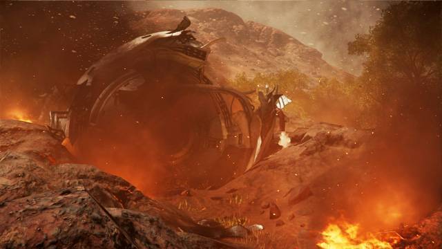
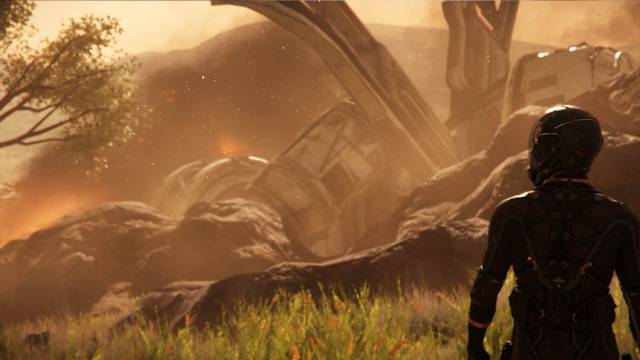
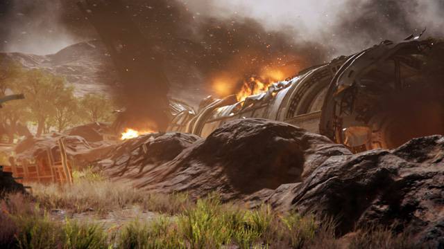
Here is a guide to get you from Lorville to the downed satellite wreck. When you get there you could try climbing the Satellite as seen in the Citcon demo.
The Location Video
The flight is practically a straight line with just a minor course adjustment of a few degrees right on final approach. This occurs when the scanner reveals the target. I didn’t know I could use a scanner
To start scanning, switch to the scanner display (TAB key), then hold down the left mouse key until the progress line around the central targeting circle reaches 100%. Release the left mouse key to send out a long range pulse.
As you will see in the video, an outpost to the right will show up in the scanner as a small blue wire cube. As I had already been to that location I knew that it should be ignored. Just go right ahead and keep scanning. Interestingly, the scanner displays a satellite icon at the location of the satellite as you come in for the final approach.
Directions
Use your ship’s scanner to find the satellite when you get close: select the scanner using the TAB key then use the right mouse button to charge a scanning pulse and release it.
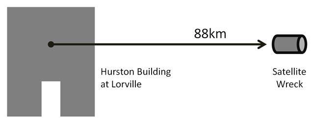
Finding this location is easy when you know how – as you can see from the map. All you need to do is turn your ship to be parallel with the back wall of the building as shown then keep going.
Trying to make sense out of was available on the net took a fair amount of time and failed runs. The best instruction came from player
Screenshots
Javelin Wreck on Daymar
It’s actually quite a large and interesting site to visit. I arrived before dawn and had a full day to explore the area. On a different day, I had spent a few frustrating hours looking for the Javelin and left empty-handed even though the map included a lot of measurements. This time the search was a easier. It just needs a little patience and some methodical accuracy.
The Map
I used a map created by player G-Wave. His map used one orbital marker and two surface reference points to complete the description. It was night time on Daymar, but once I had
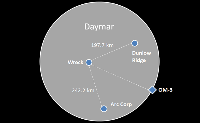
Before leaving I revised the map reference measurements by a fraction of a kilometre from an altitude of 500m.
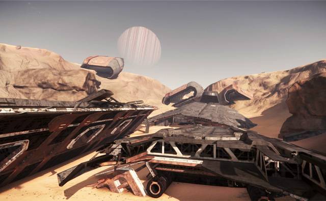
Orbital Markers
Orbital markers are geosynchronous and you should start at OM-3. You do need to ensure your starting point on the surface is on the correct side of the centre-line between the two surface markers.
Instructions
- Go to Daymar
- Go to OM-3
- Rotate your view of Daymar so that Dunlow Ridge is at the top and Arc Corp is at the bottom.
- Pick a point on Daymar’s surface to the left of centreline between Dunlow Ridge and Arc Corp. If in doubt, aim for further than you think you need. Its a lot easier to make adjustments as you come back because the surface markers will be in front of you.
- Adjust your ships offset from the reference points exactly.
- Go to an altitude of about 1000 meters to spot the Javelin.
Screenshots
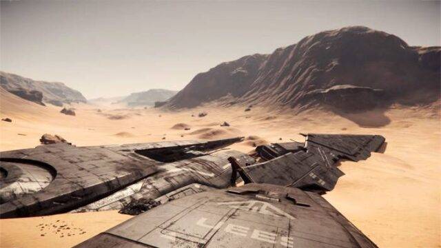
Front section 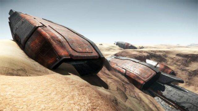
All four engines at the rear of the Javelin. 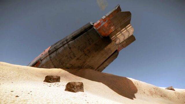
A lone engine 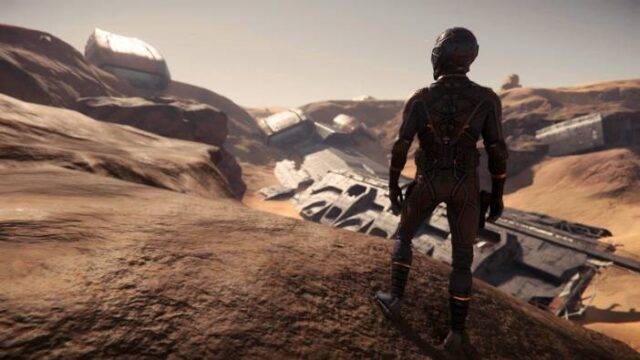
The Wreck site
